360 panoramic image
$100An immersive spherical panorama captured up to 400 feet above ground.
Flexible aerial imaging services for the Concord and Laconia, New Hampshire area, with straightforward sample pricing.
Services available
Every location and project is different. These starting prices provide a useful guide; final pricing is based on distance, property size, and the combination of imaging you need.
An immersive spherical panorama captured up to 400 feet above ground.
Aerial still images of your property and the surrounding landscape.
Unedited drone footage of your property and surrounding area.
A more dynamic flight designed to move through and around a location.
Up to 15 acres, then $10 per acre for projects up to 50 acres.
Bundle compatible services into one flight and a package shaped around your needs.
Sample panorama
Drag the image to look around. Use the full-screen control for the most immersive experience.
Sample FPV footage
FPV video travels through a scene with speed, proximity, and a more immediate sense of scale.
Detailed overhead maps
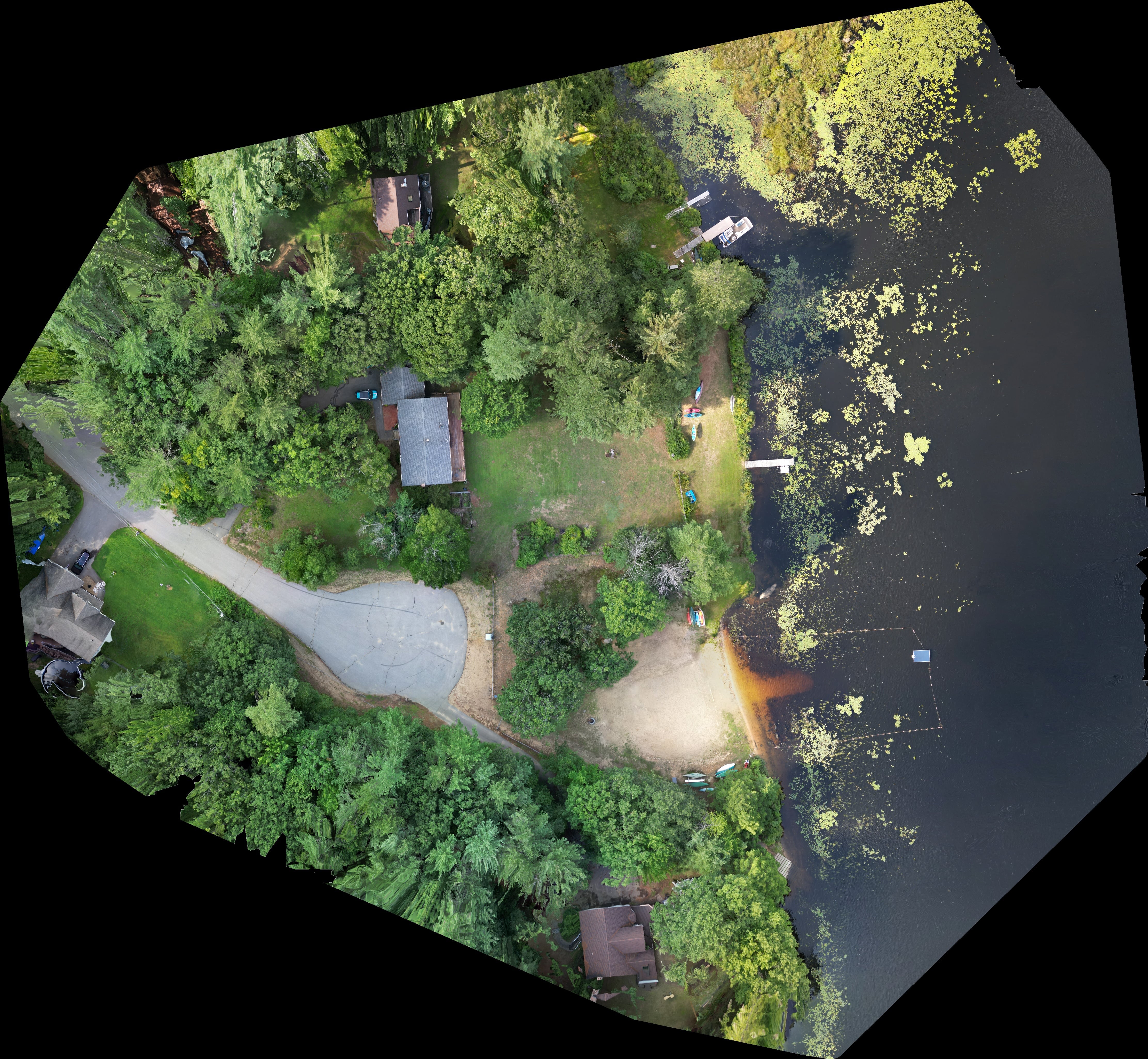
High-detail stitched overhead images can document a property in a single comprehensive view.